
Technology
The systems behind the survey: Scan-to-BIM, digital twins and the LiDAR-to-map pipeline, built on the same workflow used on every project.
01 · SCAN-TO-BIM
From point cloud to intelligent building model
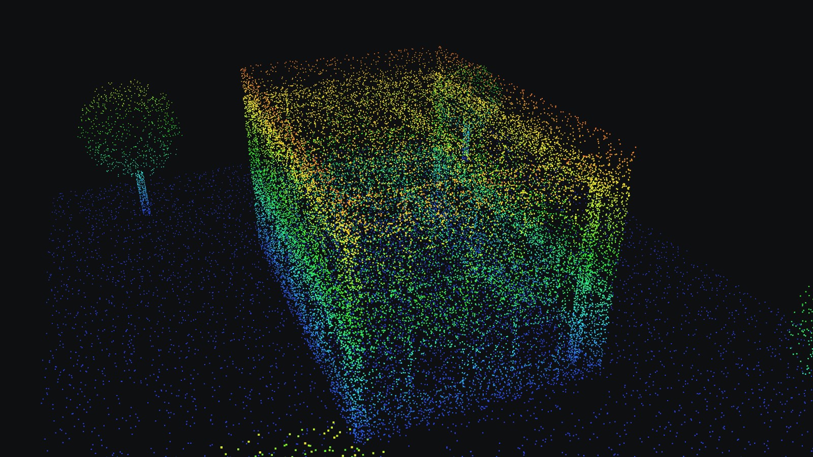
We scan existing buildings with LiDAR and convert the data into accurate as-built BIM models — architectural, structural and MEP, verified against the original scan.
Sample model shown for illustration. No client project data is displayed.
02 · DIGITAL TWIN
From reality capture to an intelligent digital twin
An accurate digital copy of a physical asset, linked to its data, built using LiDAR, drone photogrammetry, DGPS, GIS and BIM.
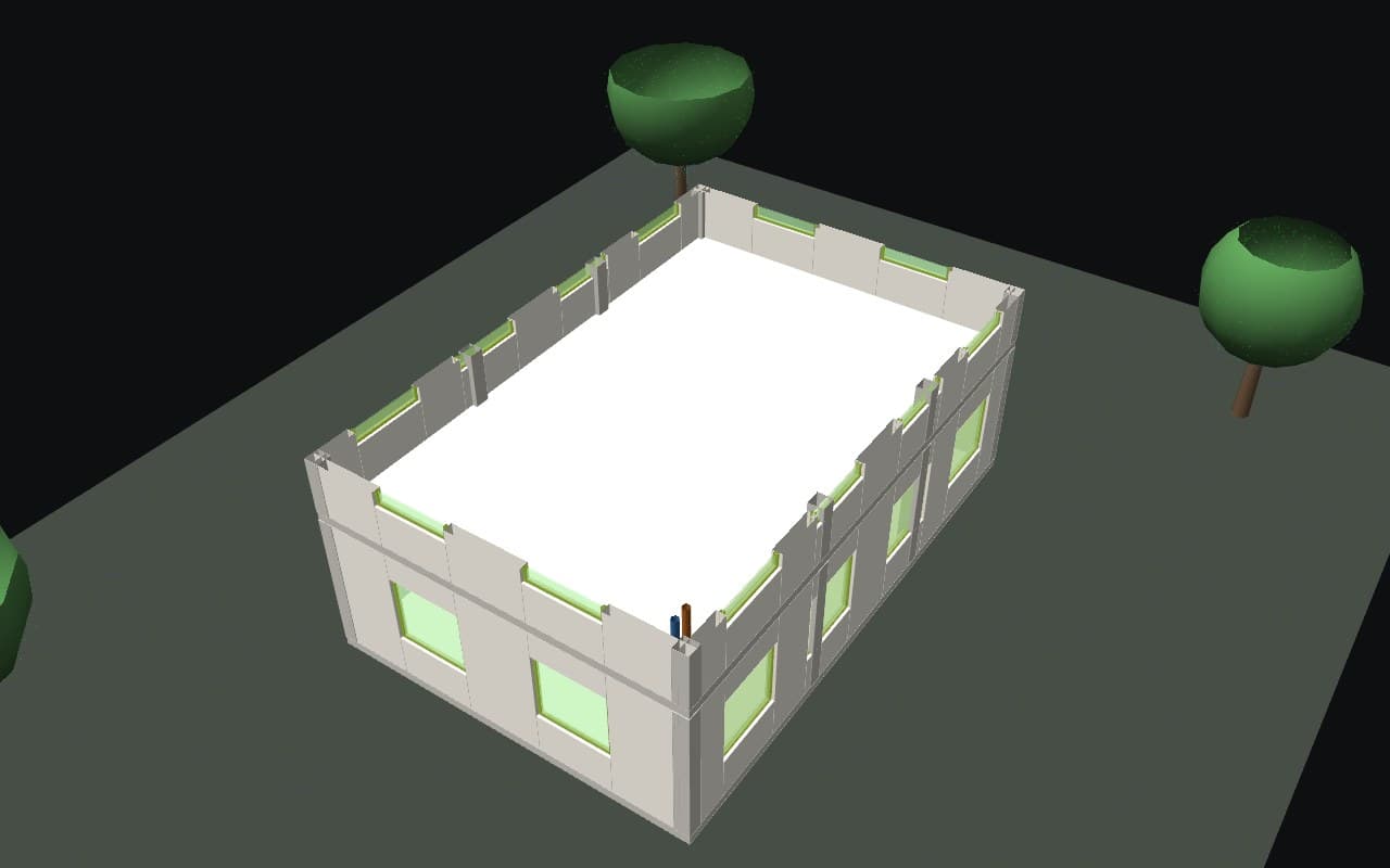
Building
Reality capture, Scan-to-BIM, floor-wise data, rooms, doors, windows, MEP and structural elements, asset database, web viewer.
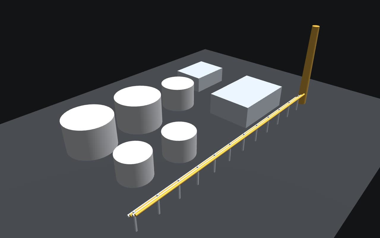
Infrastructure
Roads, bridges, flyovers, drainage, sewerage, water supply, STP/WTP, electrical, government buildings, industrial facilities.
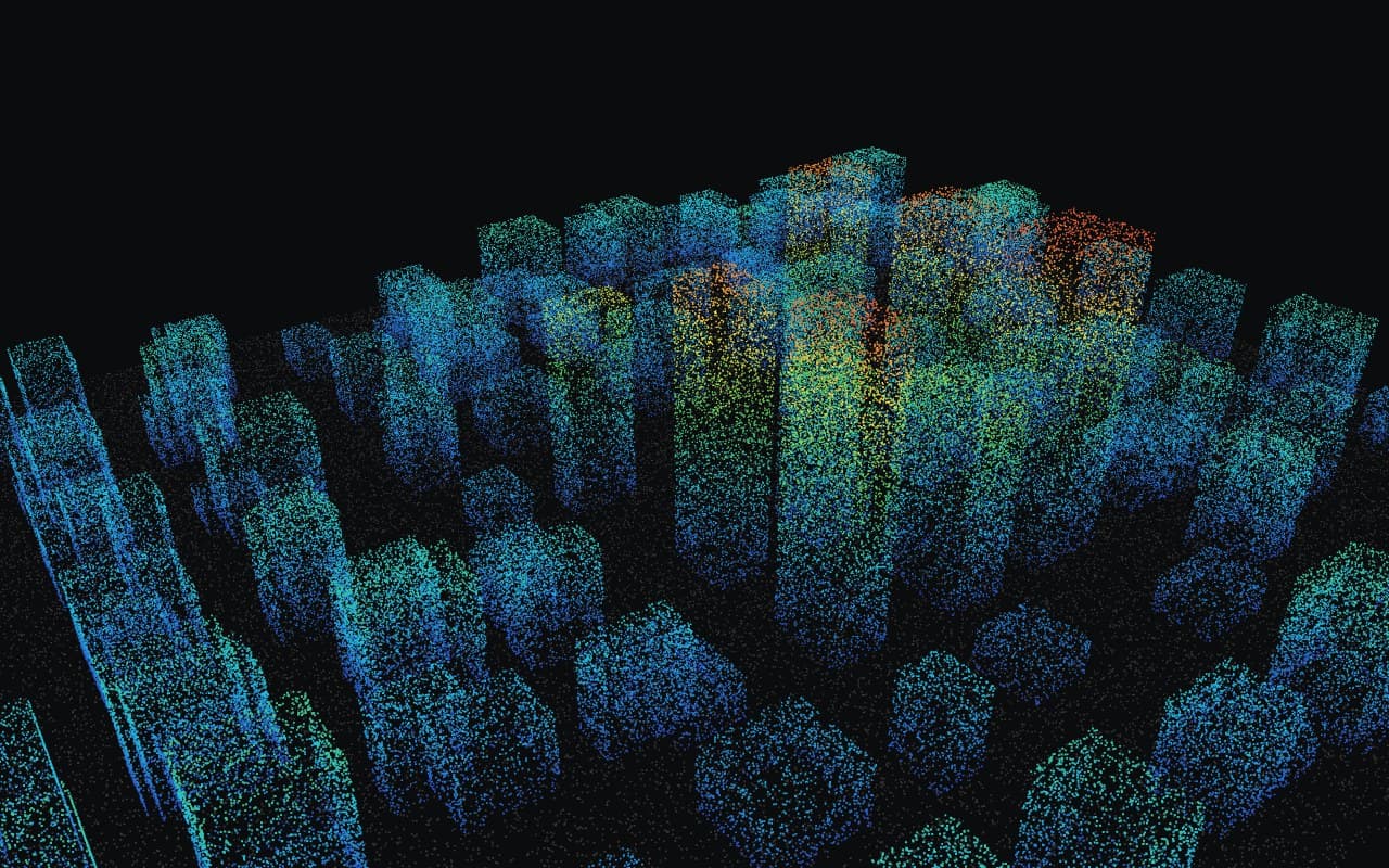
Urban / city
Satellite, drone, LiDAR, DGPS, GIS, BIM and IoT data in one geospatial environment for Development Authorities and Municipal Bodies.
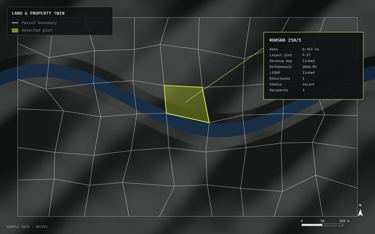
Land & property
Each plot linked to its boundary, khasra/gata, revenue map, layout plan, coordinates, orthomosaic, LiDAR, structures, encroachment and development status, photographs and documents.
03 · LIDAR · MAP CONVERSION
See LiDAR become a survey drawing
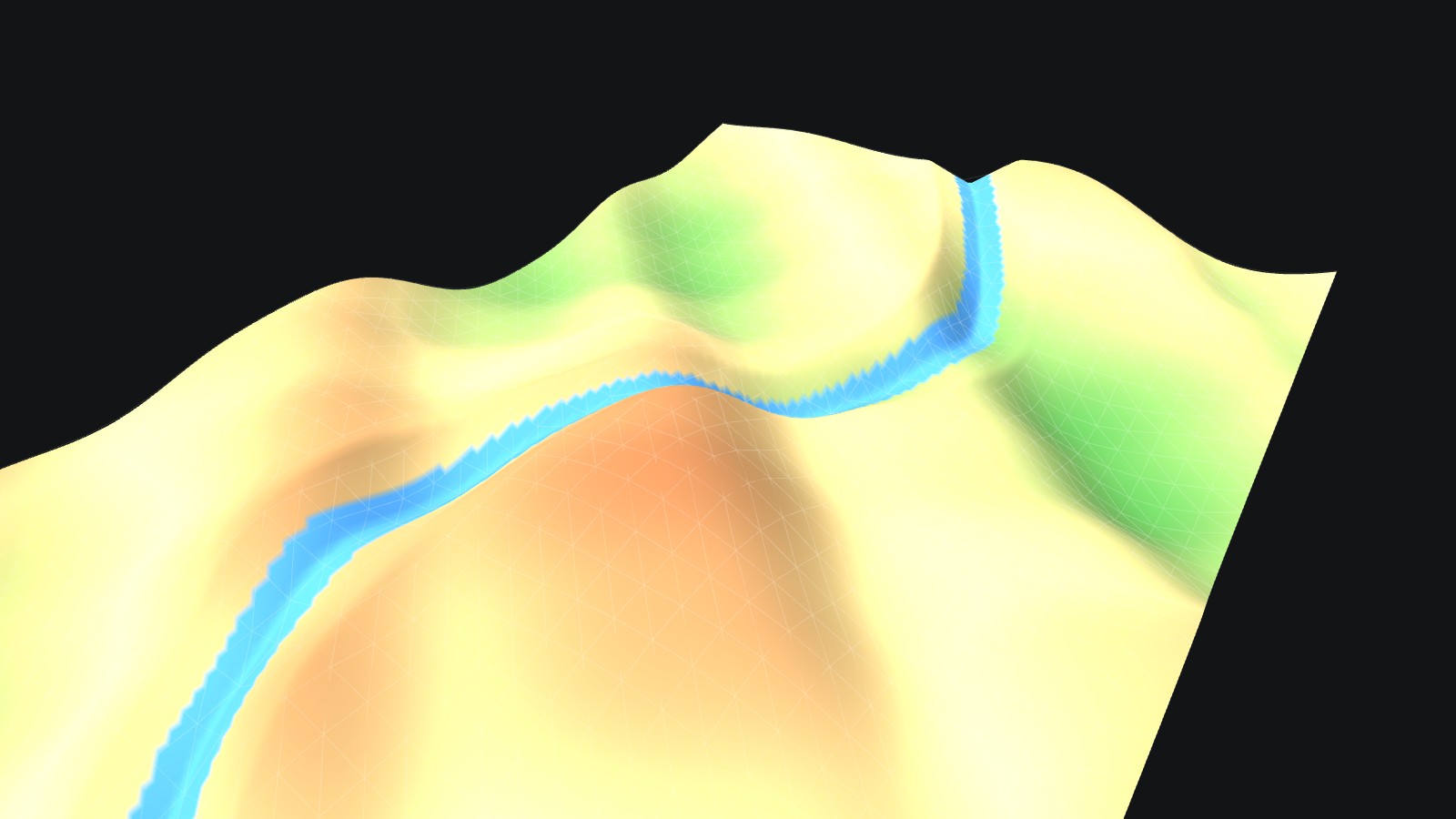
Raw point cloud, classified points, bare-earth terrain, then a finished contour map — drag through each stage of the same pipeline we run on every LiDAR survey.
04 · WORKFLOW
Each stage feeds the next
Accuracy set in the field carries through to the final report.
05 · SOFTWARE & FORMATS
Built on industry-standard tools
Software
- Autodesk Civil 3D
- AutoCAD
- Global Mapper
- Pix4D
- QGIS / ArcGIS [confirm]
- ESurvey CADD (TopoDraw)
Formats
- DWG/DXF
- SHP/KML/KMZ
- GeoTIFF
- LAS/LAZ/E57 [confirm]/PLY
- IFC
Positioning & reference
- RTK/PPK/NTRIP
- Static GNSS
- WGS 84 / UTM or tender datum
- Independent check points
- Any tender-specified format
Have a Scan-to-BIM or digital twin requirement?
Share your project details and our technology team will get back with an approach and timeline.